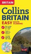
Fully revised double-sided map covering the whole of Britain, with more detailed maps of the busiest built-up areas included. A clear and attractive route planning map ideal business users and tourists alike.
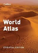
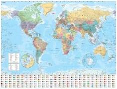
Fully revised and updated reference atlas in the exciting Collins world atlas range. Great value and contains all the world maps you need in a budget atlas, for family, study and business use.
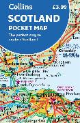
Handy little full colour map of Scotland. Excellent value and very detailed for its size. Double-sided folded map with the Central Belt, southern Scotland and northern England on one side and northern Scotland including Orkney and Shetland on the reverse.
Handy little full colour map of the coastal Kingdom of Fife. Detailed mapping and tourist information from Dundee in the North to Edinburgh in the south and from Fife coast in the east to Stirling in the west.
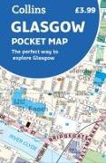
Handy little full colour Collins map of central Glasgow with a high level of detail. Clear mapping from the park of Glasgow Green to the bustling West End. Map at a scale of 1:8200 (7.5 inches to 1 mile).
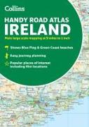
Explore Ireland with this handy format route-planning atlas in full colour, complete with information on places of tourist interest. There are also fully indexed town centre plans of Belfast, Cork, Dublin, Galway, Limerick and Derry/Londonderry. Now with places of interest marked including famous film locations.
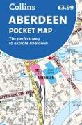
Handy little full colour Collins map of Aberdeen with a high level of detail. Clear mapping of the central area extending to the airport and along the coast, with all tourist locations. Map at a scale of 1:10 725 (5.8 inches to 1 mile).
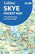
Handy little full colour Collins map of Skye with a high level of detail. Clear mapping of the Isle of Skye showing the road network, ferries and places of interest. Map at a scale of 1:175 000 (3 miles to 1 inch).
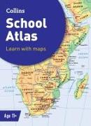
Discover the world with this engaging, educational atlas from Collins Fully revised and updated for 2022, this introductory atlas for secondary schools is designed to support Key Stage 3 students in developing geographical and mapping skills.
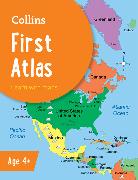
Discover the world with this engaging, educational atlas from Collins Collins First Atlas is a fun, vibrant and clear starter atlas for children aged 4-7 years, providing the perfect foundation to basic geography skills.
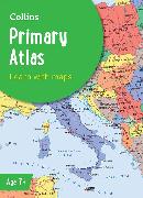
Discover the world with this engaging, educational atlas from Collins Collins Primary Atlas is a great introduction to mapping of the UK, Europe and all major regions of the world. It supports the Key Stage 2 curriculum and is suitable for children aged 7-11 years.