On this 2018 edition the chart specification has been improved to show coloured light flashes. Depths have been updated from the latest surveys. The Marine Nature Reserve in Strangford Lough is included. There has been general updating throughout.
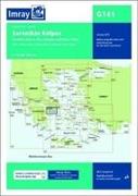
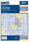
On this 2019 edition the chart specification has been improved to show coloured light flashes. A harbour plan of Koroni is now included on this chart. The latest depth surveys have been included where available. Submarine cables and firing practice areas have been updated. There has been general updating throughout.
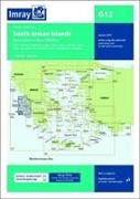
On this 2019 edition the chart specification has been improved to show coloured light flashes. Submarine cables have been updated. There has been general updating throughout.
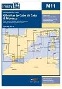
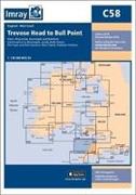
On this 2018 edition the chart specification has been improved to show coloured light flashes. Continuing harbour developments at Gibraltar and completed harbour developments at Almeria are included. Marine reserves have been updated. There has been general updating throughout.
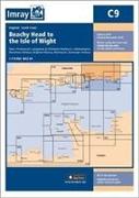
On this 2018 edition the chart specification has been improved to show coloured light flashes. Depths have been updated from the latest surveys and the completed works on the Rampion wind farm are shown. There has been general updating throughout.
On this 2018 edition the chart specification has been improved to show coloured light flashes. Depths have been updated from the latest surveys and the completed works on the Rampion wind farm are shown. There has been general updating throughout.
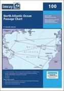
At a scale of 1:7, 620, 000 this chart covers the North Atlantic from Brazil to Newfoundland and Gibraltar to the Caribbean. It has been constructed on a conical projection that means that Great Circle tracks can be plotted as straight lines rather than curves.
On this 2018 edition the chart specification has been improved to show coloured light flashes. Depths have been updated from the latest surveys where available. Additional tidal stream data has been added. There has been general updating throughout.
On this 2018 edition the chart specification has been improved to show coloured light flashes. The harbour plans of Puerto de San Sebastian de la Gomera and Puerto de Naos & Los Marmoles (Marina Lanzarote) have both been extended to incorporate recent harbour development. There has been general updating throughout.